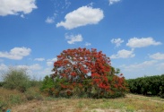
Ein Al-Beida - Al-Sakout Trail
Trail length: 5 km
Difficulty degree: Easy
Trail description
The trail located in the area of the eastern plains - the northern Jordan Valley - starting from the village of Ain al-Bayda and ending at the Jordanian border in the east at Ain al-Sakout
A tour through the track
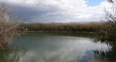
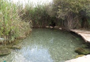
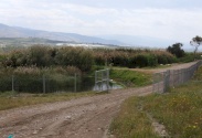
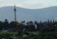
This trail starts from an area located west of Ain al-Bayda village, about 300 km away from the closed western border by the bypass road forced by Israel in the area. At the beginning of in east way, the visitor sees the memorial of Sheikh Muhammad, whose ruins are still present, and the visitor continues to walk eastward through the lands of the town, passing through the ruins of Ain Al-Bayda, which has largely disappeared. It is a beautiful rocky area, with a natural water pool bounded by reed trees. The visitor crosses about 2.5 km in the village lands, passing through the Shamsiya Hill (it contained Alshamisea water springs above and below, which were rich and always sources of water, before they faced the danger of drought due to Israel aggressions in the area). The visitor leaves the village lands and continues walking in the area of the eastern slopes, which is a place for grazing livestock, and a site for Bedouin ranches whose presence has started to decrease in the area due to the occupation aggressions that restrict the Palestinian presence and the minefields they planted in the area. A newly established trail enabled the Palestinians to reach the area and the visitor can rest in the middle of the trail. He can be able to watch the migratory birds residing in the area overlooking all directions, Wadi al-Maleh to the south, where birds benefit from the waters of the valley and the Jordan Mountains in the east, specifically the heights of Wadi al-Yabis, which gives the visitor oriental breezes and native Palestinian shrubs distributed in the area, as the Retama, Dom, and Sidr can be seen during the walk.
The visitor walks east in semi-desert lands, and there is a second point in the last quarter of the trail to watch birds, and despite the semi-path characteristics that say: the presence of water springs in it makes it an attractive point for birds on their way through these lands. They are passing through Al-Ain Al-Wusta and they are two oases surrounded by shrubs and reeds that make it interesting to go to the area without shade to reach this resting place, reminding the walker of the stories of Sinbad and the tales of the oases, and from here the visitor sees the vast lands looming at its end. (Her family still holds their "ownership" papers, determined to return one day, as the waters of the Sakut wash away the pain of fatigue.
Biodiversity
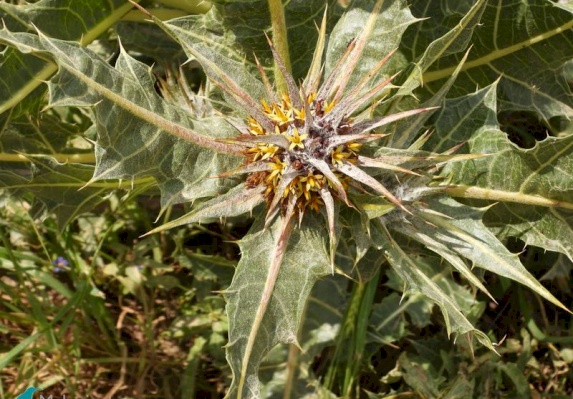
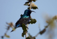
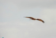
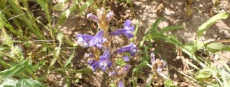
The region follows the climate of the Iranian-Turonian phytogeographical zone, and the soil of the gray plains and tendon, it consists of short tree assemblies, the most important of which are the retime, Lycium, tamarisk, iris, sumac, Sidr and wormwood. The Egyptian mongoose, the striped hyena, and the porcupine. It is considered a passage for migratory birds and stop-over for resident ones, such as: the collared falcon, the black partridge, the royal eagle, Black Kite, the black stork, the masked shrike, the pied kingfisher and the ringed collared.

All rights reserved by www.mahmiyat.ps ©

