Al-Mintar -Mar Saba Trail
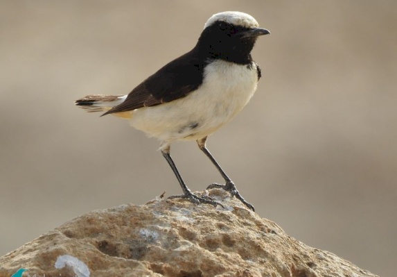
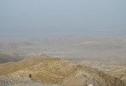
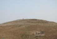
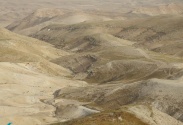
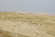
This trail starts from the east of the Eastern Al-Sawahrah village , located 5 km southeast of Jerusalem, and the trail wraps south around Mount Hazran, to return and meet the trail again near its end. The visitor heads east at the beginning of the area called the Wilderness of Jerusalem (extending eastward across the eastern slopes to the area of the rift and the edges of the Dead Sea, it characterized by semi-desert characteristics, and is dominated by rock formations of limestone and dolomite, and it is a pastoral area in general, and it has habitats for some rare plants, and it is an important area for birding whether resident or migratory. Al-Muntar mountain rises about 500 meters above sea level, is characterized by the presence of many archaeological ruins on its sides, and the visitor can see the foundations built of square stones, in addition to the wells carved in the rock, on Khirbet Murd and Al-Fardis mountain in the south and valleys south of Jerusalem. From the Al-Mentar area, the visitor begins to move south, through hills of medium height, overlooking the Dead Sea area to the east, and passing through one of the hand-crafted villages called Arab al-Jahalin,it is one of the six Bedouin communities distributed in the West Bank. It is an urbanized community, where the people live in houses built of stone, and there is a basic school for boys and girls in the area, despite that there are animal pens, some dairy products produced by the people can be obtained such as local Cheese and butter.
The trail extends south until it ends at the intersection of the trail with Wadi Kidron near Bir al-Khatiyah (the valley extends from the city of Jerusalem to unite in the south with Wadi Hinnom, and together they are called Wadi al-Raheb on the edges of Mar Saba Monastery. The valley itself extends to the Dead Sea, but today it is called Wadi al-Nar In the area south of the village of Al-Sawahrah, the name may refer to its importance and the difficulty of passing through it.
It is described as Al-Afghani to its meanders and the difficulty of topography or perhaps due to the high pollution resulted of the untreated wastewater on its land. Visitor completes the way to Kidron Valley, and across the eastern slopes of it. Heights adjacent to the valley are considered dangerous in some of their points, especially as the visitor approaches the monastery, and accordingly the visitor should prepare their selves in terms of dress to avoid danger in this area. The trail ends in the area of the Monastery of Mar Saba, and what it gives the visitor of distinctive geometric images, the like of which is rare to find. In addition, the landscape and the natural caves scattered in the area, which it was a residence for monks and worshipers, today it is considered a place for the breeding of prey birds, especially rare ones, and in this sacred place, the trail ends with an opportunity to take pictures and enjoy the place.
Biodiversity
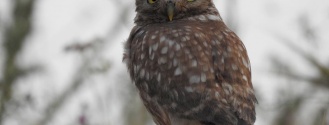
The trail crosses through the eastern slopes, which form part of the Jerusalem wilderness; it is considered a habitat for some mammals, including rare ones such as the spotted hyena, desert hare, gazelle, and Palestinian mountain deer. Reptiles can be seen such as lizards and chameleons. The area is rich in plant diversity, including endemic and rare plants such as Palestinian trifolium, fenugreek, and prickly burnet. Many prey birds fly in the area, such as the eagle, the lesser kestrel, and the Egyptian eagle.

All rights reserved by www.mahmiyat.ps ©

